GeoFinderAI - An AI tool that accurately detects locations from your images
GeoFinderAI is an innovative tool that allows you to find out where any photo was taken with remarkable accuracy. By simply uploading an image, users can leverage the power of advanced AI to analyze visual clues such as architecture, landscapes, and signage, making it easy to pinpoint locations. This cutting-edge technology is designed to provide precise coordinates along with a confidence radius, ensuring that users receive reliable information about their images.
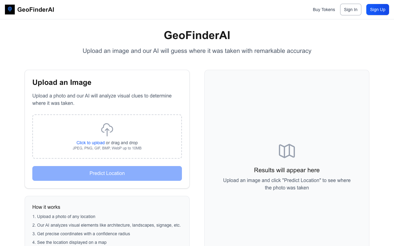
To use GeoFinderAI, just upload a photo of any location, and the AI will get to work analyzing the visual elements present in the image. The process is straightforward: click to upload or drag and drop your image in formats like JPEG, PNG, GIF, BMP, or WebP, with a maximum size of 10MB. Once the image is uploaded, simply click “Predict Location” to see the results displayed on a map. New users are welcomed with 5 free uses, after which each analysis costs 10 tokens.
The benefits of using GeoFinderAI are immense, especially for travelers, photographers, and anyone curious about the world around them. With its ability to provide accurate location data, users can enhance their understanding of the places they visit or capture in photos. Whether you’re trying to remember a beautiful landscape or want to identify a specific landmark, GeoFinderAI is your go-to solution for location detection.
Explore the potential of AI-powered location detection by visiting GeoFinderAI and start uncovering the stories behind your images today!